Prinsted
Prinsted was the original name for the central area of the Civil Parish of Southbourne created in 1967. Stein Road School was Prinsted Board School, until 1876 when the board school system was changed to Council Schools and it became Southbourne Council School.
The name Southbourne was introduced on the completion of St. Johns Church in 1876 and the creation of the Chapelry of Southbourne when the first vicar was appointed in 1878
The whole area including Thorney, Slipper, Lumley through to Nutbourne were in the Parish of Westbourne. Any family research needs to bear this in mind as Births, Deaths and marriages are registered as Westbourne.
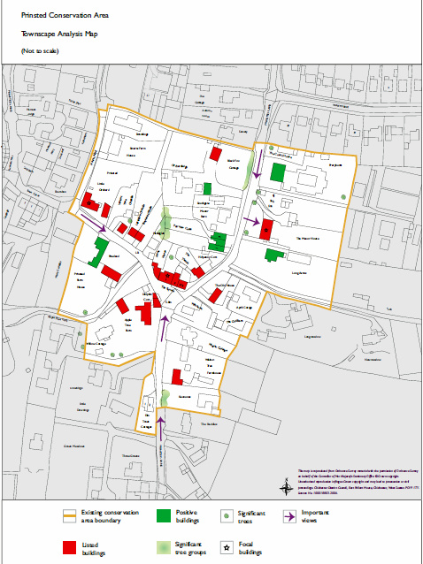
Being one of the earliest developed area of the parish there are a number of Thatched Cottages and listed buildings in Prinsted and a conservation area appraisal was done in 2007.
The following is the link to the Appraisal
PrinstedCA.indd (southbourne-pc.gov.uk)
The conservation area is in the centre and is restricted by various considerations for planning.
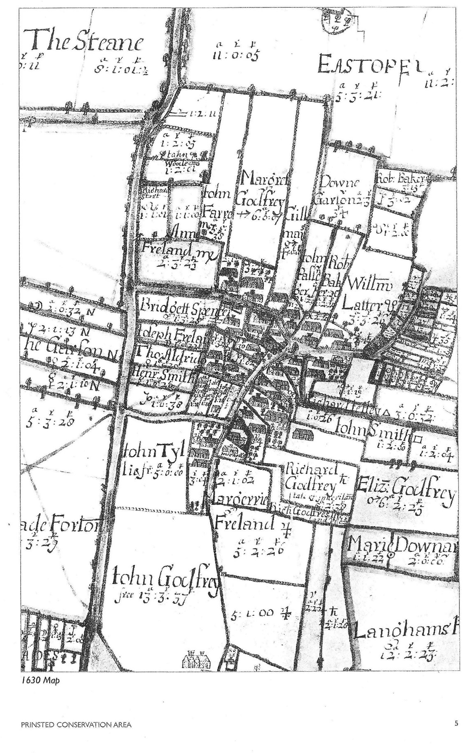
I thought about turning it so that Main Road was at the top, but it would then be difficult to read the names so I left it as it is.
There are 30 pages of pictures and Prinsted history below. You may need to open them.
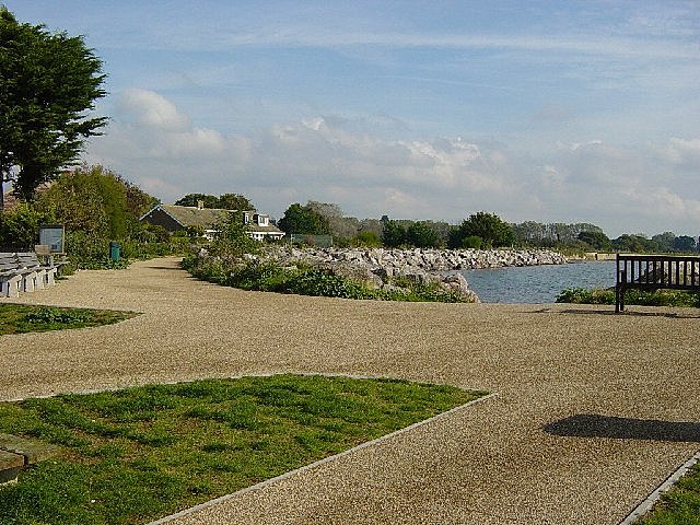
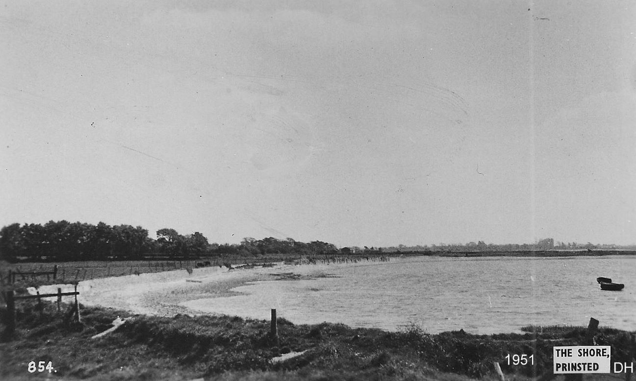
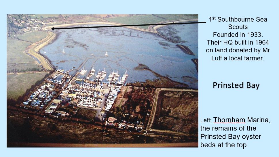
Pictures of Prinsted